Selecting from the map
There are various tools and methods for selecting from the map. Tools include:
| Adhoc | Select or deselect by clicking on individual regions on the map - e.g. records displayed by Postal Area. | .png) |
|---|---|---|
| Scribble | Select an area of the map by clicking, holding and dragging the pointer over the desired area. | .png) |
| Polygon | Click on the map and every subsequent click will join the previous point to the new point, until you have identified the area. | .png) |
| Rectangle | A click and drag will draw a rectangle in any direction from the point where you clicked. | .png) |
| Oval | A click and drag will draw an oval in any direction from the point where you clicked. | .png) |
| Radius | A click and drag will draw a circle radiating from your click point. The tooltip indicates the radius distance. | .png) |
| Legend | Use the Map Legend to select records falling into thematically shaded numeric ranges. | 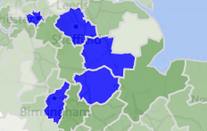 |
For more information on selecting from maps and how FastStats interprets the shape drawn, see: