Map
Understanding the geographical distribution of your customers and prospects can increase insight of your marketplace, highlight areas of untapped potential and facilitate campaign planning and execution.
The FastStats Geo module is an integration with Microsoft Bing Maps and OpenStreetMap that allows you to visualise the spatial distribution of your data and export targeted selections for immediate use in your marketing campaigns.
Microsoft Bing Maps
Online mapping using Bing & OpenStreetMap provides street level mapping for all regions in the world.
Users will need to subscribe to the online Bing Maps web service through Apteco and ensure they have the relevant boundary - also known as 'shape' - files. In the UK, the basic shapes are Postal Area, Postal District and Postal Sector.
OpenStreetMap is a free service and, without the addition of Bing Maps, will only allow you to display thematically shaded maps, with the appropriate boundary files being available. With a Bing Maps key, OpenStreetMap can display the geocoding functions on its map display.
.png "Microsoft Bing Maps")
The examples in these Help files are for illustrative purposes only. You will not be able to follow these exact examples in practice without the relevant licensed software and access to the Holidays training system.
- Shaded map
- Plot map
- Multiple layered map
- Viewing the map
- Selecting from the map
- DriveTime calculations
- Penetration mapping
Map Options
- On the menu bar click on File → Tools → Options...
-
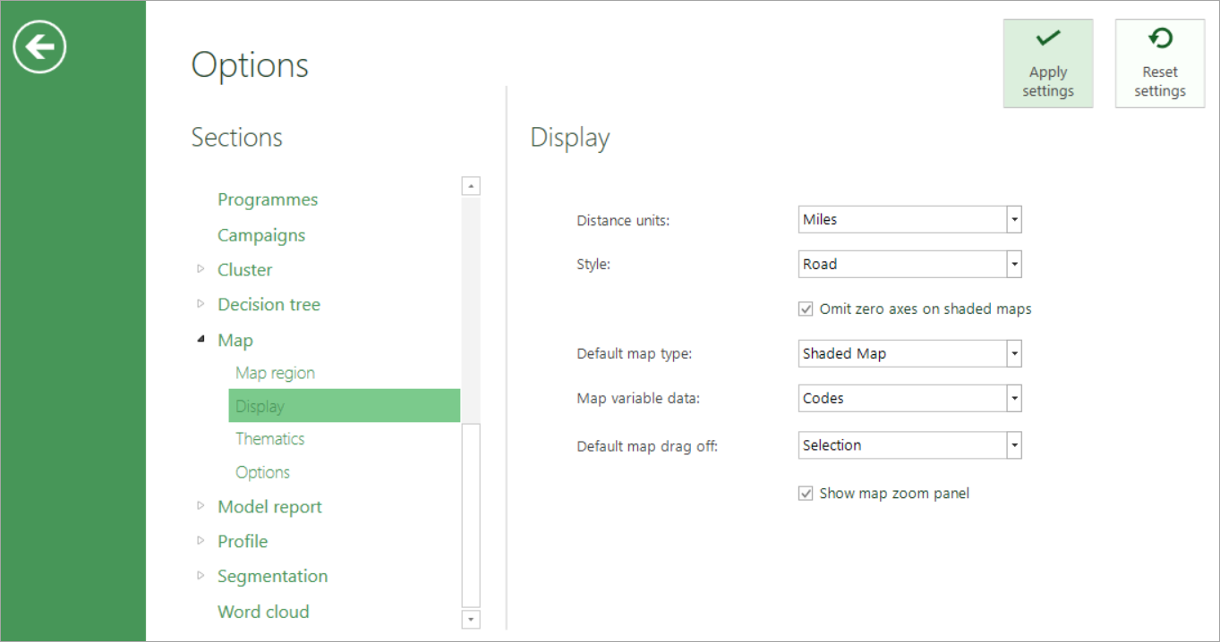
Under the Sections column select Map to see 4 further sub menus
Map Wizards
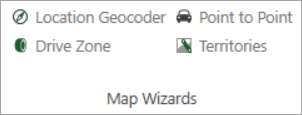
There are a group of wizards which interact with Bing and allow you to identify records in relationship to time and distance, using geographical variables. The result of these wizards is to create a Virtual Variable which will appear in the System explorer.