Pan and zoom
You can move a map tile around on a dashboard freely, as you can with any other tile. However, Analyser (or above) bundle holders with map tile backgrounds can also can easily pan and zoom on a map using the ‘on-map’ control options.
You can maintain pan and zoom when filtering maps in dashboard view mode.
Pre-requisites
To use enhanced dashboard map tiles with zoom and pan functionality, you must have:
- An Analyser bundle licence or above
- The required shaded postal maps installed within the Map Definitions. See Installing boundary map files.
Enabling pan and zoom
To pan and zoom on a dashboard, map tile backgrounds must be enabled. Only dashboard editors can choose to enable or disable dashboard map pan and zoom.
To enable or disable map tile backgrounds:
-
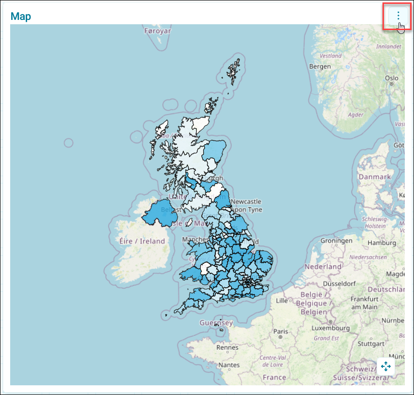
Click the option menu on an existing map.
-
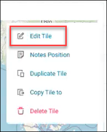
Click Edit Tile.
-
In Data Settings, toggle on or off Background Layer.
Background layer on enables pan and zoom, and background layer off disables pan and zoom.
Panning
Panning allows you to focus on a specific area of your map for more complex selection analysis.
To pan on a map:
-
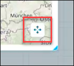
Click the directional icon on an existing map.
-
Then, from within your map boundary, click and drag your map to pan around as required.
- Once you’re finished panning, click the directional icon again to exit pan mode and move your dashboard map tile again freely.
Zooming
Zooming lets you get closer to your map for specific detail, or further away for better context.
To zoom on a map:
-
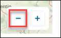
Click the + icon to increase the zoom.
-
Click the - icon to reduce the zoom.